


55503272
Karten und Kontinente
Für den Unterrichtempfohlen
In 10 interaktiven H5P-Modulen wird Wissen zu Karten und Kontinenten vermittelt, vertieft und abgefragt.
Das Medium bietet H5P-Aufgaben an, die ohne zusätzliche Software verwendbar sind.
Durch interaktive Aufgabentypen wird das audiovisuelle und interaktive Lernen einfach.
Lernen macht jetzt Spaß!
- <> Languages : DE
- <> Target Groups : GRU
- <> Subject : Primary School
- <> Tasks : 10
Licenses
Included Tasks
- I Landkarten - Interaktive Aufgabe
- II Eine Karte richtig lesen - Interaktives Video
- III Kartenlesen: Die Legende - Interaktives Video
- IV Die Legende - Interaktive Aufgabe
- V Kontinente zuordnen - Interaktive Aufgabe
- VI Norden / Süden / Osten / Westen - Interaktive Aufgabe
- VII Kontinente und Himmelsrichtungen - Interaktive Aufgabe
- VIII Kontinenten Länder zuordnen - Interaktive Aufgabe
- IX Sehenswürdigkeiten Kontinenten zuordnen - Interaktive Aufgabe
- X Hauptstädte - Interaktive Aufgabe
Curriculum-centred and oriented towards educational standards
Matching

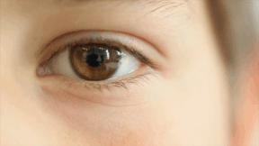
Eye
The eye is one of our most important sense organs. It provides direct access to the world.
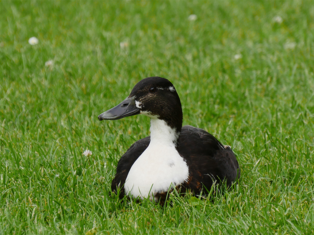
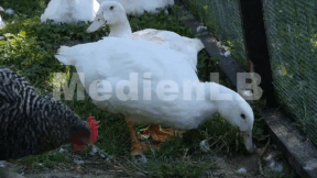
Ducks
Ducks are our best-known water birds. You can watch them on almost any large body of water. Although we come across them frequently, most of us know very little about the lives of ducks. But it is worth our while to look at them more closely.
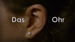
The Ear
Large or small, narrow or broad, round or angular. Our ears may be of a variety of shapes.